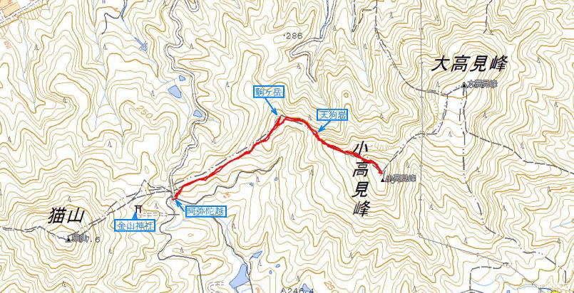
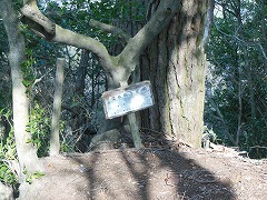
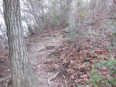
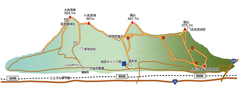
阿弥陀越から高見峰への登山路を登る。階段状の急登を過ぎると、竹林帯に入る。しばらく登ると二俣(標識;左は駒ヶ岳、右は高見峰)がある。
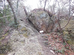
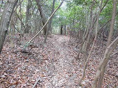
小高見峰への登山路は駒ヶ岳の山腹を捲いて痩せ尾根に続いている。小高見峰への登りが急になるころ、天狗岩に遭遇する。天狗岩の左側を登れば、
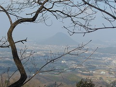
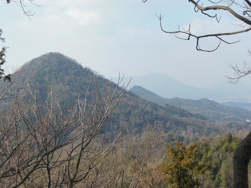
見晴台のようなところに着く。秀麗な猫山が左正面に目に入る。ここから小高見峰までは、比較的緩い登りになっている。
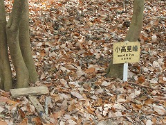
登山路は、小高見峰頂上をはずして大高見峰とのコルへと続いている。
小高見峰の頂上は平坦な雑木林の中にあり、見晴らしがよくない。阿弥陀越と小高見峰の往復は、1時間程度であり、気軽に登れる山と言える。
I climb the mountain climbing road to Takamibo from the Amidagoe. I enter the bamboo forest zone when over stepped climbing a steep slope.
There is the route-junction point (the left in Mt.Komagatake, the right in Mt.Takamibo) when I climb it for a while,
and the mountain climbing road to Mt.Kotakamiho winds up the hillside of Mt.Komagatake.
If a climb to Mt.Kotakamiho becomes sudden, it arrives at the Tenguiwa (long-nosed goblin rock). The Tenguiwa can pass if I climb the left side.
Mt. Nekoyama is seen in the left front from an observation deck. From here to Mt.Kotakamiho, is relatively loose; become uphill.
The mountain climbing road takes off top of Mt.Kotakamiho and leads to the col with Mt.Otakamibo.
There is the top of Mt.Kotakamiho in flat grove of miscellaneous trees, and a view is not good.
The coming and going of the Amidagoe and Mt. Kotakamiho are mountains to be able to climb casually for around one hour.